
February 19, 2026
What if choosing the right block in Menlo Park could make your daily routine feel easier, calmer, and more connected? When you look beyond the city name, you find small pockets with very different vibes, commutes, and home styles. It can feel like a puzzle, especially if you are relocating or moving up. This guide breaks down Menlo Park’s micro-neighborhoods, everyday amenities, commute choices, and price context so you can match a pocket to your lifestyle. Let’s dive in.
You get a Peninsula city with a village feel and quick access to major job centers. Menlo Park has about 32,700 residents, and the mean travel time to work is roughly 24 minutes, which reflects typical Peninsula commutes by car and rail. You can see that baseline in the city’s census profile for context on size and commuting patterns. CensusReporter provides a concise snapshot of Menlo Park.
The broader job ecosystem shapes everyday life too. Meta maintains its principal executive offices at 1 Meta Way in Menlo Park, and the Sand Hill Road venture capital corridor sits just up the hill. These anchors influence rental demand, traffic flows, and home values across nearby pockets. You can confirm Meta’s headquarters address in the company’s recent SEC filing. See Meta’s Menlo Park office address in the latest 10-K.
On price, Menlo Park is a high-cost market. Citywide snapshots from late 2025 to January 2026 show a median value around $2.7 to $2.8 million across major indices. Month-to-month numbers can move, but this gives you a realistic frame for budgeting and tradeoffs.
Neighborhood names are often informal and boundaries can shift by a few blocks, but the day-to-day feel is very consistent once you are on the ground. Use this overview to narrow your short list, then compare specific streets.
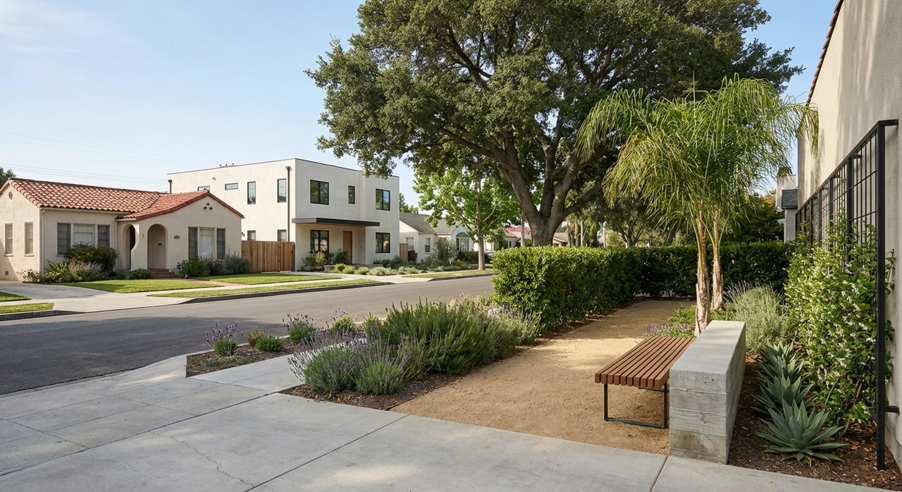
Downtown centers on Santa Cruz Avenue, which functions as Menlo Park’s “high street.” You can walk to cafés, small boutiques, Kepler’s Books, and services. The Menlo Park Caltrain station sits just at the edge of downtown, which makes quick rail trips to San Francisco or San Jose a practical option. Caltrain launched its electrified schedule in 2024, which improved frequency and reliability along the corridor. Read about Caltrain’s electrification rollout.
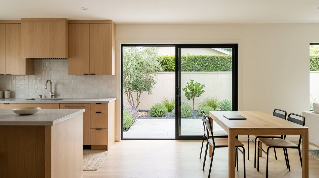
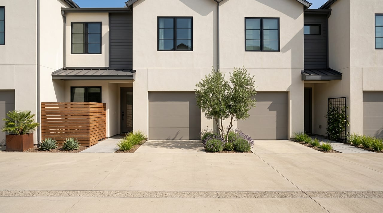
Homes here tend to be early 20th-century cottages and Craftsman styles on smaller lots, with infill townhomes and low-rise condos closer to the commercial spine. You trade yard size for walkability and transit access. Fremont Park and the Civic Center area connect you to everyday green space and city services. For pool time, lessons, and fields, Burgess Park and its pool anchor the city’s recreation hub.
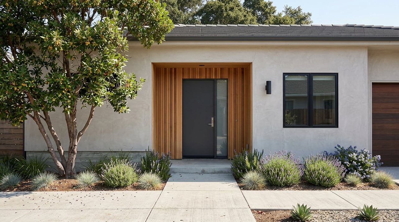
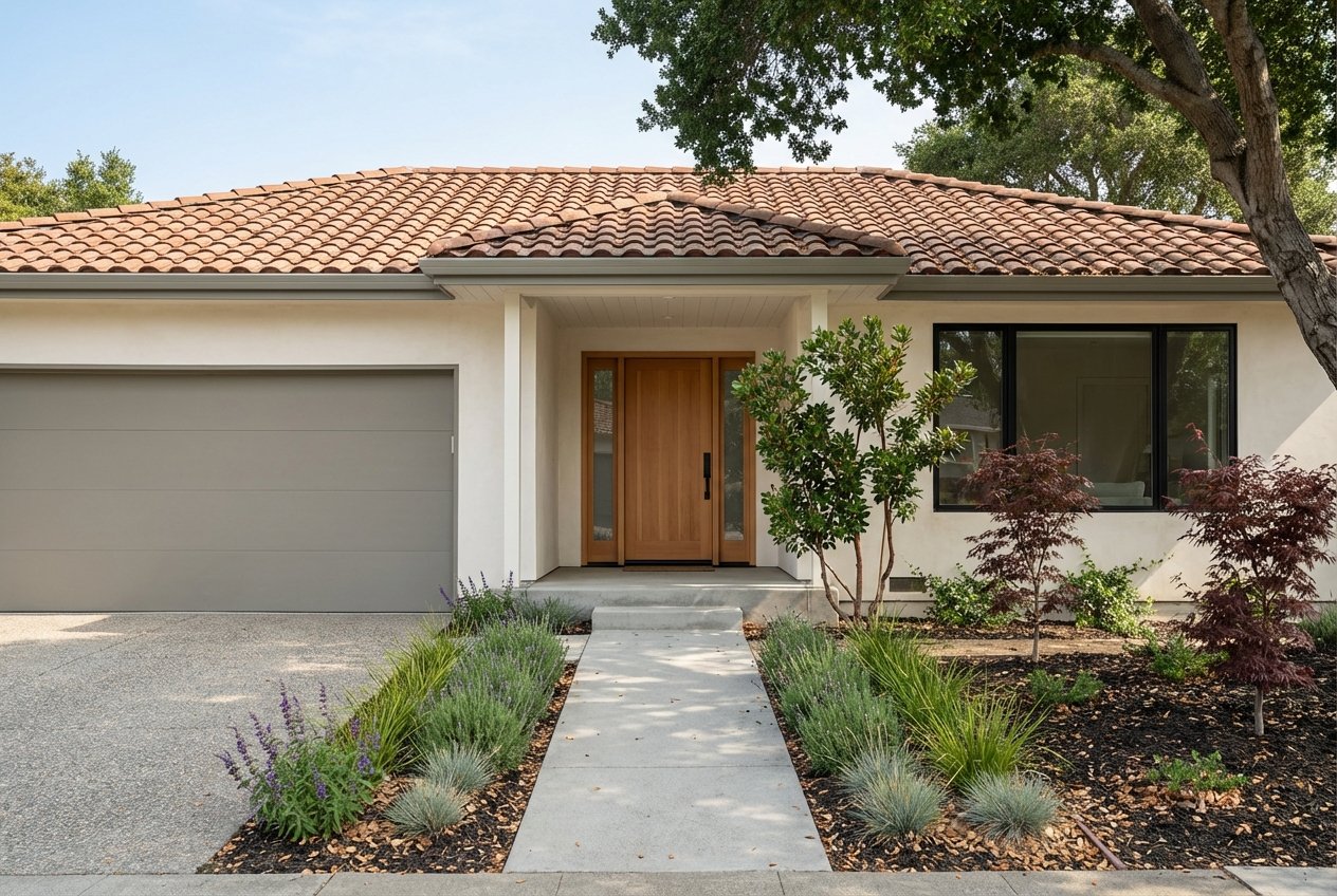
If you like quiet, tree-lined streets and mid-century design, start here. You will find many single-story ranch homes and some Eichler-influenced blocks. Lot sizes tend to be medium, with a growing number of thoughtful renovations that modernize floor plans without losing charm. Commute options are flexible, with practical bike routes to Willow Road job nodes and the Bayfront.
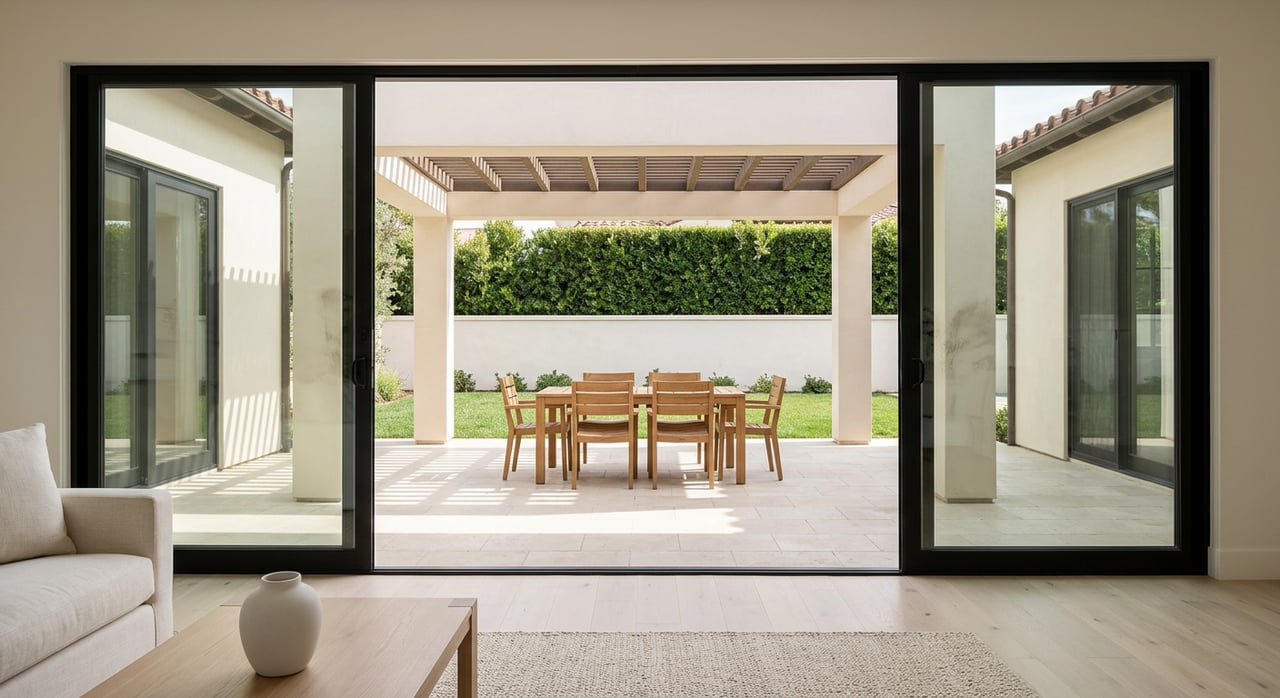
On the southern side near Sand Hill Road, this pocket reads as more suburban. Lots and homes trend larger, and you see a mix of mid-century ranches, contemporary rebuilds, and some gated townhome enclaves. Buyers often prioritize privacy, yard space, and quick access to the Sand Hill business corridor and I-280. Dining and hotel options nearby add a low-key upscale feel without heavy through-traffic.
These western and northwest pockets offer leafy streets and a higher share of larger single-family homes. You are a short drive from downtown Menlo Park and Palo Alto. Renovated properties and newer builds appear alongside early-century cottages, and many blocks feel low-traffic. Values can run above city averages on a price-per-square-foot basis, with specifics varying by street and condition.
Eastern Menlo Park has seen significant public investment and planning in recent years. The city completed the Belle Haven Community Campus in 2024, which consolidated a new library, pool, and multi-service facility. That project signals ongoing attention to neighborhood infrastructure and services. Learn about the Belle Haven Community Campus project.
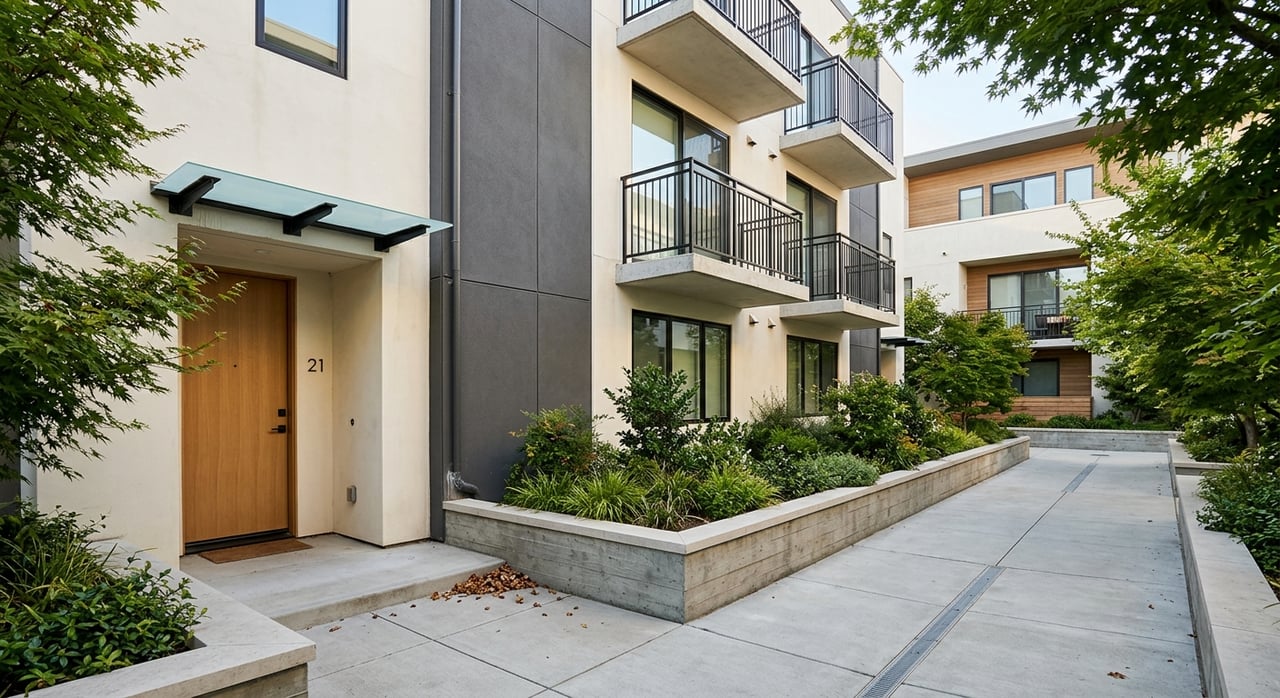
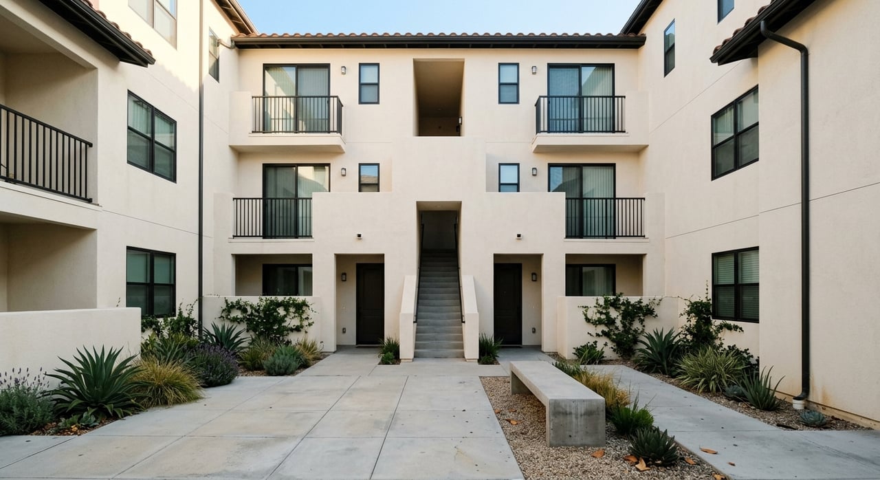
Housing types here include more multifamily and below-market-rate units compared to other pockets. City programs focus on electrification and affordability, which show up in retrofit support and new project pipelines. Transit is expanding too. SamTrans has targeted Belle Haven with on-demand microtransit through RidePlus, and the city highlighted new EPX express bus connections aimed at improving regional reach. See Menlo Park’s update on SamTrans EPX service.
Outdoor access stands out here as well. Bedwell Bayfront Park, the Bay Trail, and the publicly accessible Meta Park open space create long, flat walking and biking options along the bay edge. You can move from neighborhood streets to wide-open views in minutes.
This 160-acre bayfront park is one of Menlo Park’s signature assets. It features a 2.3-mile perimeter trail with direct connections to the Bay Trail, so you can take long, flat loops with broad water views. Birding, biking, and stroller-friendly walks are common on weekends. Explore Bedwell Bayfront Park and its trail map.
Near the Civic Center, Burgess Park functions as the city’s recreation hub. You have athletic fields, a skate park, playgrounds, and a community pool, so it fits both regular routines and weekend meetups. Check details for Burgess Park and the pool.
Meta Park is a privately owned but publicly accessible 2.2-acre open space next to the Bayfront campus. It connects to the Bay Trail and serves as an extra green stop for walks or bike rides near the water. Learn more about Meta Park and its Bay Trail link. Across interior neighborhoods you will also find pocket parks like Nealon Park and Sharon Park for quick playtime or quiet breaks.
Citywide values in late 2025 through January 2026 cluster around $2.7 to $2.8 million on major market trackers. Neighborhood performance can diverge by a wide margin in price per square foot, days on market, and competition. If you are weighing a remodel or rebuild, think about lot size and zoning early. Central pockets with smaller lots favor careful additions and high-efficiency layouts, while larger parcels in Sharon Heights or Menlo Oaks more often support bigger projects. For any specific parcel, review municipal rules before you plan. Start with Menlo Park’s Housing Element and zoning resources.
Use these questions to narrow your search to two or three pockets you will tour first.
Menlo Park works best when you match the right pocket to your commute, budget, and day-to-day rhythm. If you want help mapping your options by lifestyle, timeline, and current inventory, reach out for local guidance in plain English, Cantonese, or Mandarin. Tony Ngai can walk you through micro-neighborhood tradeoffs, provide recent comps, and prepare a clear plan from search to close. Request your free neighborhood market report and home valuation.
Stay up to date on the latest real estate trends.
Get in Touch to Schedule a Consultation