
April 9, 2026
If you work in tech, your housing search in Sunnyvale usually starts with one practical question: how do you want to commute every day? In a city shaped by Caltrain, light rail, major arterials, and freeway access, your best-fit home often depends on whether you want rail convenience, quick driving routes, or a balance of both. This guide will help you understand how Sunnyvale’s commute patterns connect to different housing options, so you can narrow your search with more confidence. Let’s dive in.
Sunnyvale offers several ways to get around, and that matters if you want to line up your housing choice with your work routine. According to the city’s 2023 Housing Element, the mean travel time to work was 23.0 minutes in the 2020-2024 ACS, and multifamily housing made up 48% of the city’s housing stock. That mix helps explain why you’ll find everything from apartments and condos near transit to detached homes and ADU-supported neighborhoods farther from major stations. (Sunnyvale Housing Element)
For many tech workers, the real question is not just whether Sunnyvale is commutable. It is which part of Sunnyvale fits the way you want to live. Some areas are more rail-oriented and mixed-use, while others are better suited for drivers or people who want easier freeway access.
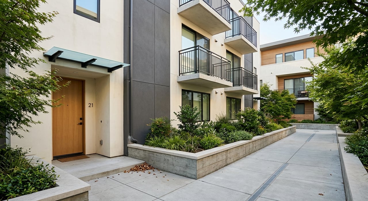
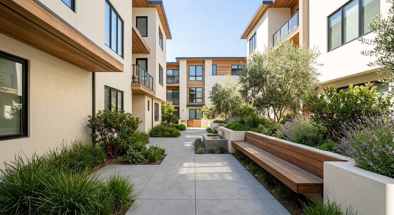
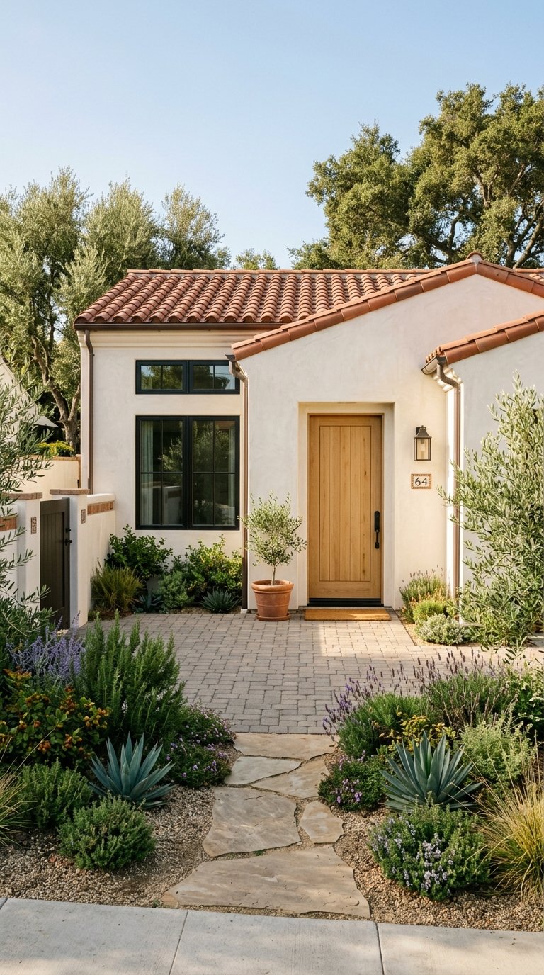
Downtown Sunnyvale is the city’s clearest rail-centered district. The Sunnyvale Caltrain station opens onto Murphy Avenue, and the Downtown Specific Plan area covers a 150-acre mixed-use district where people live, work, and visit. CityLine forms a 36-acre core project with office, residential, and commercial space, reinforcing downtown as one of Sunnyvale’s most connected live-work areas.
If you want to be near both rail service and everyday amenities, downtown is one of the most practical places to focus. The Sunnyvale Transit Center sits across from the Caltrain station and adds VTA bus connections across the city. In housing terms, this part of Sunnyvale is most closely tied to apartments, condos, and mixed-use infill rather than large areas of detached homes. (Sunnyvale Housing Element)
For a buyer, that can mean a more compact home with easier station access and a more urban feel. For a renter or first-time buyer comparing options, downtown may offer a simpler daily routine if your job or lifestyle benefits from rail access and nearby services.
Downtown Sunnyvale may appeal to you if you want:
If your priority is having a short trip to the station instead of maximizing lot size, this area deserves a close look.
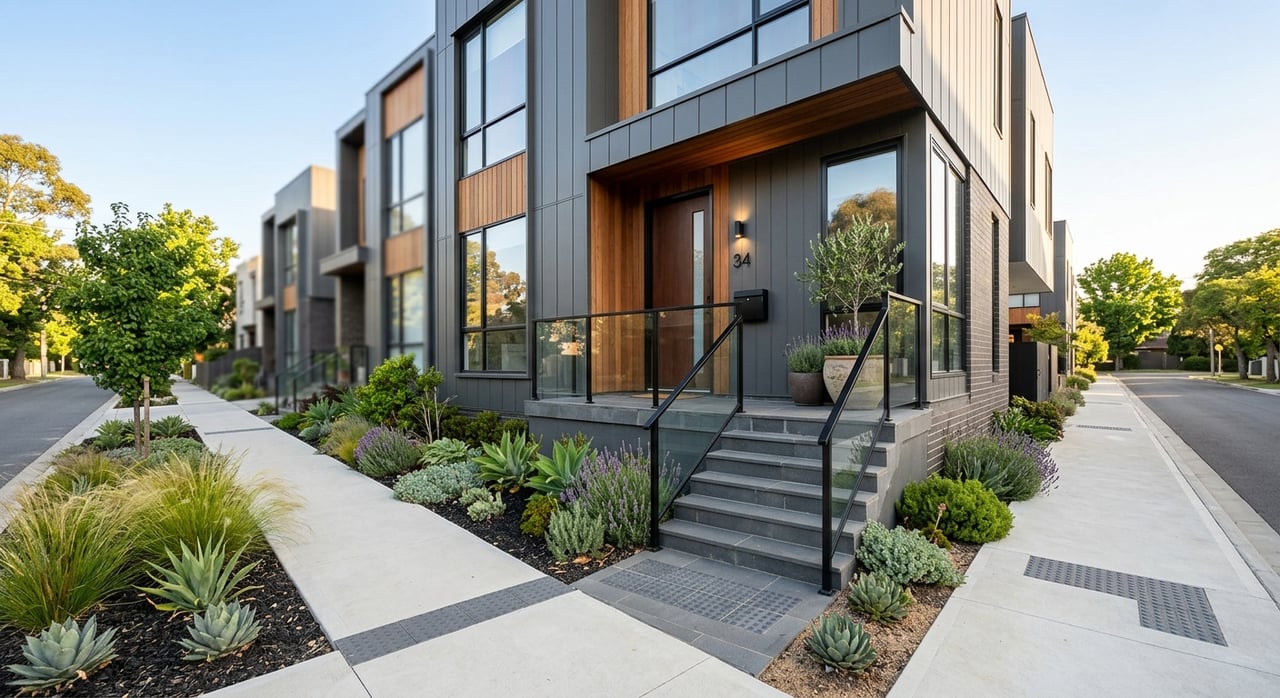
Sunnyvale’s second Caltrain stop is Lawrence Station, and the surrounding area has become one of the city’s most important mixed-use growth zones. The city’s Lawrence Station Area Plan was designed to create a diverse neighborhood with a variety of housing types plus office and R&D uses. A 2021 update allows an additional 3,612 units, for a total of 5,935 units.
That planning direction matters because it gives you a clearer sense of what to expect near Lawrence. City materials describe a range of housing nearby, including older residential neighborhoods south of the rail line, newer townhouses on Aster and Willow, 741 townhome, condo, and apartment units at 1155-1175 Aster Avenue, and 520 apartment units on Kifer Road at Santa Vittoria Terrace. The city also identifies transit-oriented affordable developments near Lawrence Caltrain with studio-to-three-bedroom mixes. (Lawrence Station Area projects)
In practical terms, Lawrence gives you more housing variety than many buyers expect. If you want station access but also want to explore townhomes, condos, apartments, and newer projects, this area can offer more range than a simple downtown-only search.
The Lawrence area can make sense if you want:
For some tech workers, Lawrence offers a strong middle ground between transit access and housing variety.
If you are looking for transit-accessible housing beyond the two Caltrain station areas, El Camino Real is another important corridor. City planning documents focus residential and mixed-use development at transit-accessible nodes along the corridor, describing them as high-density, pedestrian-oriented, transit-supported neighborhoods. Existing medium- and high-density housing examples include apartment complexes west of Fair Oaks Avenue and south of Sunken Gardens Golf Course. (Sunnyvale Housing Element)
For your home search, El Camino Real is best understood as a corridor with apartments, townhomes, condos, and newer mixed-use projects in transit-linked locations. It can be a useful option if you want convenience and access to major roads without needing to live directly next to a Caltrain station.
This part of Sunnyvale may also work well if your commute patterns vary. For example, if you sometimes drive, sometimes use transit, and want broad access to daily services, mixed-use corridors can offer flexibility that fits a changing work schedule.
North Sunnyvale is closely tied to the VTA Orange Line. The line includes Borregas, Crossman, Fair Oaks, Lockheed Martin, Moffett Park, Reamwood, and Vienna stations. City roadway materials also note that north of Tasman Drive, light rail runs in the center median of Fair Oaks Avenue. (Sunnyvale roadway framework)
The city says the Tasman and Fair Oaks light rail corridor provides access to high-tech employers and is well suited to walking and bicycling. It also notes that the Reamwood, Vienna, and Fair Oaks stations are near residences and provide transit access to some of Sunnyvale’s mobile home parks. Sunnyvale’s 2023 Housing Element states that mobile homes make up 6.3% of the city’s housing stock, with 13 mobile home parks and 3,862 mobile homes. (Sunnyvale transportation and housing context)
This is not one single, uniform residential district. Instead, it is better understood as a corridor with residential pockets, transit-served neighborhoods, mobile home parks, and future redevelopment potential shaped by nearby employment uses.
Moffett Park is still largely employment-oriented today. The Moffett Park Specific Plan says residential uses are not allowed in many office and mixed-employment districts, even though the city’s long-term vision includes office space, innovation space, and housing.
That means if you work near Moffett Park, you may find the best housing options not in the core employment area itself, but in nearby transit-served pockets connected by light rail, local streets, biking routes, or short drives.
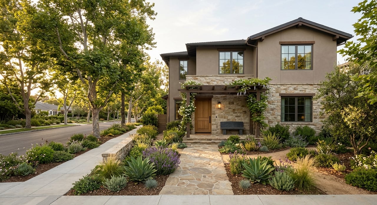
Not every tech worker wants a rail-first lifestyle. If you drive most days, Sunnyvale’s roadway network plays a major role in where you may want to live. The city identifies Lawrence Expressway, Fair Oaks Avenue, Wolfe Road, Mathilda Avenue, Sunnyvale-Saratoga Road, Central Expressway, El Camino Real, Fremont Avenue, and Homestead Road as major corridors. It also notes connections to US 101, SR 237, and SR 85 through key arterials including Lawrence, Fair Oaks, Mathilda, El Camino Real, Fremont, and Homestead. (Sunnyvale roadway framework)
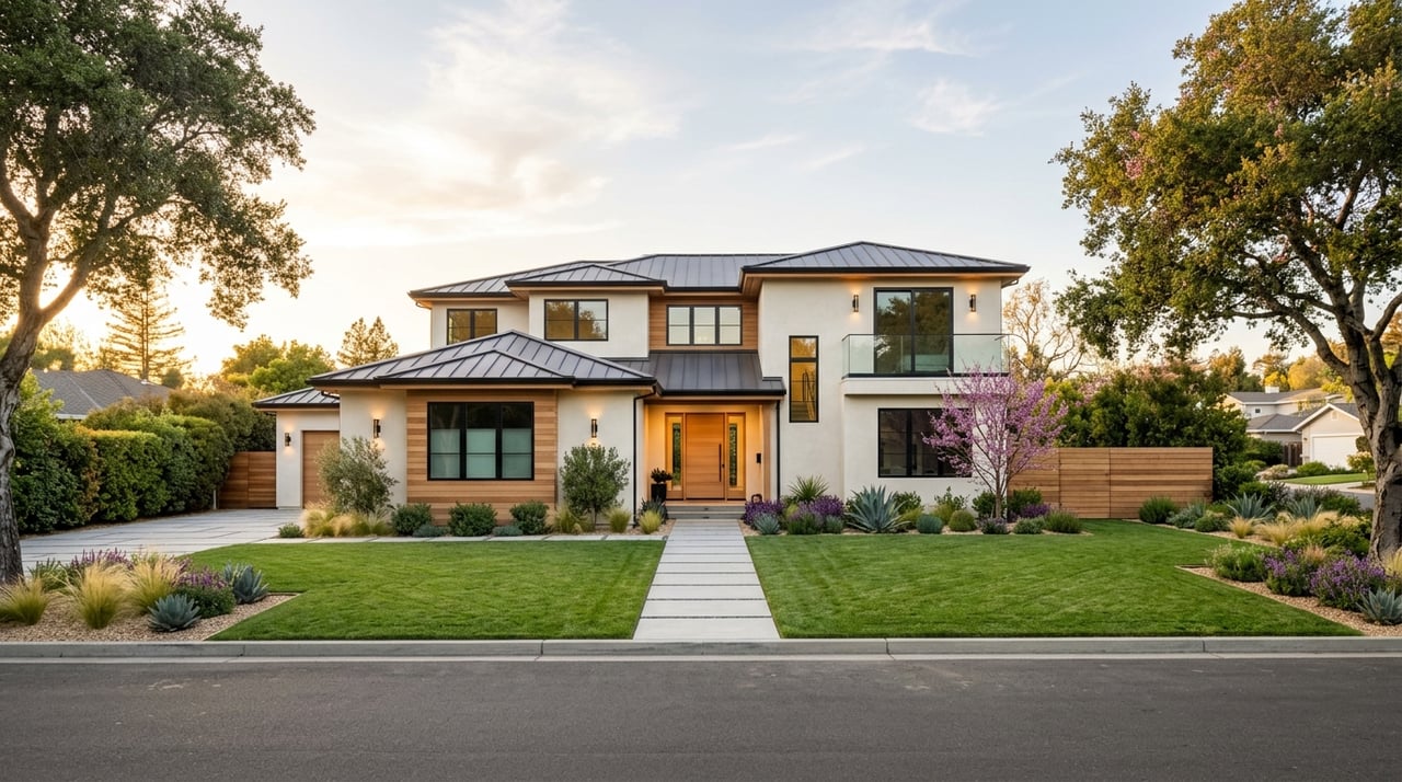
These more auto-oriented parts of Sunnyvale often support a broader housing mix. City documents indicate that detached single-family homes were still the largest share in 2010, while multifamily housing reached 48% of the housing stock in 2020. The city also permits ADUs and JADUs on single-family lots. (Sunnyvale Housing Element)
For you, that may translate into more opportunities to search for detached homes, townhomes, condos, apartments, or infill housing in neighborhoods farther from the main transit nodes. If you value parking, freeway access, or a less transit-centered daily routine, these areas can be worth comparing carefully.
In northwest Sunnyvale, Peery Park sits between US 101, Fair Oaks Avenue, El Camino Real, and the Mountain View border. The city now offers a free on-demand shuttle in Peery Park. Village Centers in Sunnyvale are also typically located at arterial intersections, within walking and biking distance of nearby neighborhoods, and accessible to existing or planned transit connections.
This kind of local transportation layer can matter if your commute is short but not perfectly aligned with rail stations. In some cases, buyers benefit from looking at the full access picture, including shuttles, road connections, biking potential, and nearby services rather than focusing on one transit mode alone.
A simple way to think about Sunnyvale is this:
If you are early in your search, it helps to decide which of these matters most:
If you are exploring rentals or ownership-adjacent housing options near transit, Sunnyvale also operates Below Market Rate and Affordable Rental Unit programs. Some transit-adjacent apartments are reserved at reduced rents for income-qualified households.
The city’s GIS hub can also help you review major transit stops, high-quality transit corridors, general plan information, and affordable rental housing locations. If you like using maps to compare commute choices, this can be a helpful planning tool.
Sunnyvale works well for tech workers because it does not force one lifestyle. You can focus on downtown rail access, a Lawrence-area townhome, a light rail-connected pocket in North Sunnyvale, or a more auto-oriented neighborhood with easier freeway connections. The key is to start with how you actually want your weekdays to work, then match that routine to the housing patterns the city already supports.
If you want help comparing Sunnyvale neighborhoods, commute access, and housing types with a local, data-driven approach, Tony Ngai can help you evaluate options and request your free neighborhood market report and home valuation.
Stay up to date on the latest real estate trends.
Get in Touch to Schedule a Consultation